Every spring the Assiniboine River crests over its banks onto valley agricultural land. Last year was the driest spring for a number of years, but this spring will be different, forecasters predict.
The first Manitoba Flood forecast has been released as of Feb. 28. Virden and area can expect flooding along waterways, particularly in the Assiniboine River Valley.
Flows on the Assiniboine and Souris rivers are expected to be high. However, peak water levels will be below flood protection levels. Flows may produce some flooding of farmland and low-lying areas.
Infrastructure Minister Ron Schuler said, “March remains a crucial month in terms of snowmelt and weather conditions, and how that will affect the flood forecast going forward.”
The Shellmouth Dam will be operated to store a portion of the spring run-off, thereby reducing downstream river flows.
Overland
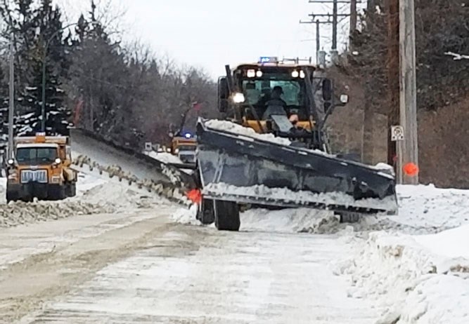
At present, there is a low risk of overland flooding in Westman, but that can change dependent upon warm weather and potential spring rains
Based on long-term weather forecasts, below-normal temperatures are expected in March and April, further delaying snowmelt, with the risk of spring rains occurring at the same time.
Manitoba Infrastructure is collecting ice thickness samples across Manitoba basins. Ice is expected to be thicker than normal, which would increase the risk of ice-jam flooding.
Portage and east
The risk of major spring flooding in the Red River Valley in 2019 is high, Schuler said.
“Early forecasting data shows that we expect to see major flooding along the Red River, with both the Red River Floodway and the Portage Diversion pressed into service,” Schuler said. “Manitoba Infrastructure continues to gather data and work with counterparts in the United States and Saskatchewan to ensure timely information is available.”
With normal weather conditions, levels on the Red River south of the floodway are expected to be near 2011 levels. Unfavourable weather conditions, including late season snow, spring rains and a more rapid snowmelt, would bring Red River levels comparable to the 2009 levels, which saw extended road closures of PTH 75 and other roads, and evacuations in some areas. Water levels will be below the flood protection levels of community and individual dikes. However, partial closure of some community dikes may be required to maintain local access.


