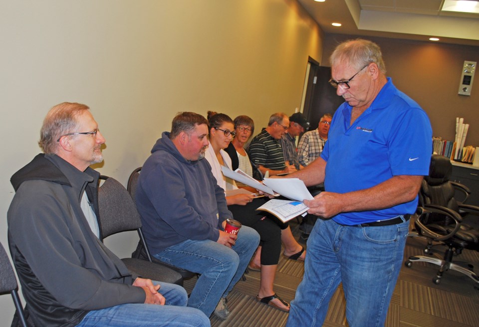
Vince Heaman says let bygones be bygones, regarding past drainage that he claims altered a natural creek flow; but he is not sitting inactive regarding the water that comes to his yard during big rains ruining buildings, fences and cattle yards. Phillip Tapp and Frank De Paepe joined Heaman as disgruntled RM of Wallace-Woodworth ratepayers looking for a solution.
De Paepe, a property owner near Heaman, is a Torontonian who lives at Oak Lake Beach in the summer. Phillip Tapp, another neighbour on land north and west of Virden, joined the conversation at the delegation to describe how the structure of his farm buildings has been eroded by high water that now comes to his yard after a big rain.
Along with two officials from Manitoba Water Stewardship, RM employees responsible for GIS (computerized mapping) data and operations were also in attendance.
Following the meeting, Chief Administrative Officer Garth Mitchell summarized the RM’s specific request of Water Stewardship.
“The RM is looking to put a small “lift” on a road that was washed out a number of years ago in high water. It’s a place where water continues to wash over, eroding the road bank. The “lift” is minimal,” says Mitchell. “To restore the road to its original height.”
In recent years there has been what Heaman describes as a creek flowing into his yard. He wants the upstream water flow to be “put back” into a watercourse, a creek that he pointed out now runs dry while water washes out roads and floods farm yards.
Heaman says the train derailment in the mid 1970s was described as occurring at the creek along a rail line northwest of Virden. There is no creek there now. A handful of culverts sit empty, a result he says, of agricultural drainage years ago.
In this touchy area, the request to build up the municipal road would mean some of this water would be re-directed. Manitoba water Stewardship has named four ratepayers, some upstream and some downstream, who need to “sign off” on the project.
Two people have signed the forms. Two other ratepayers have not, seeking more information about how this would affect them.
Director, Drainage and Water Rights Licensing Branch at Manitoba Water Stewardship Perry Stonehouse and Rick Pemkowski, Water Stewardship Officer, told council and the delegation that their hands were tied until people signed off on the license that would make any changes to water flow.
Drainage issues have been before the council table multiple times; Water Stewardship representatives have come to the table as well, the issues facing landowners have not been resolved.
Bigger picture
Managing the flow of overland flooding is a hot issue not only in the rural municipality where crop land, cattle yards, buildings and municipal roads have been damaged or rendered useless by overland flooding of recent years.
Water from the west all drains toward the valley, some of it through Virden. Businesses on the outskirts of town have been flooded as recently as 2014. Even homes in the northwest of Virden, such as in Clement Place, have been damaged by the overland rush of water.
Since then, a pilot project called Aquanty is amassing data to forecast water events.
Now the RM agrees that ratepayers and municipal officials need more information. Mitchell explains that Council has decided, the next step to bringing a workable solution for Heaman and his neighbours is an independent study, something Heaman is also asking for.
“We’re looking at hiring a consultant to do a study, to try and get some idea of how to manage water, not just in that spot, but the whole area.”
The Aquanty study is a much larger project, but Mitchell explains, “It all leads to the same goal… to understand how to manage the water.”
A study requested by the RM would access much more data than the municipality’s GIS program can generate. Consultants will look at the area and have access to the provincial LIDAR maps, the same kind of data that the Aquanty Project (https://mfga.net/aquanty/) uses.
This spring and summer, Heaman has been working with the Manitoba Ombudsman’s office to find justice in this issue.
He says, “Forget about who did what. Let’s be progressive and fix this.”
Mitchell says, “We just want to manage the situation. That’s the idea of hiring a consultant. Someone to come in from the outside.”
At the meeting, Water Stewardship reps agreed that more data from a study could inform their future decisions.
“Whether there’s a solution down the road that meets the needs of all the groups, that’s the best case scenario. What we do will impact the Assiniboine River Valley. The long-term solution is what the RM is concerned about,” says Mitchell.


